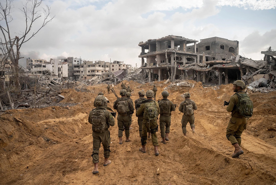
Israeli forces have taken over some 32 per cent of Gaza’s area by “systematically demolishing neighbourhoods” to create a buffer zone and a central axis dividing it, reports Al Jazeera.
According to Al Jazeera’s Sanad Verification Agency investigation, this does not include the area of the Philadelphi Corridor on Egypt’s border, which Israel declared it had taken control of on Thursday.
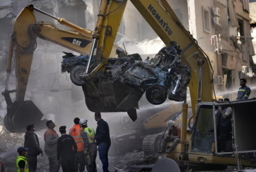
The complete destruction of areas in Gaza has come fast and slow, via air raids, artillery attacks and bulldozers.
“There is no safe place in Gaza” and dignified human life is “a near impossibility”, Martin Griffiths, under-secretary-general for humanitarian affairs and emergency relief coordinator, said.
“Even if people were able to return home, many no longer have homes to go to.”
Approximately 85 per cent of Gaza’s population, or 1.9 million people, have been displaced, according to the UN. Half of them were displaced this month alone.
During the Nakba in 1948, some 700,000 Palestinians were driven from their homes and villages by Zionist gangs to make way for the creation of the state of Israel.
More than 36,000 Palestinians have been killed since October 7, already more than double the number killed during the years 1947-1949. Many more are thought to be dead under the rubble and destruction.
Sanad’s analysis of satellite imagery showed 80-90 percent destruction rates in the 120sq km (46 square miles) Israel has taken.
With Israel’s assault on Gaza not yet over, the territory could be further diminished.
A map constructed by Sanad shows that Gaza’s boundaries have been pushed inward and a 1.5km-wide (0.93-mile) strip that runs 6.5km (four miles) across the middle in the Juhor ad-Dik area, known as the Nezarim axis.
It also identifies the depth of destruction and bulldozing the Israeli military has conducted in border areas and across central Gaza.
The analysis shows that areas in the embattled and besieged strip have been “completely bulldozed and demolished” and that “removal operations took place in a regular pattern” to turn what the UN once called “danger zones” into a buffer zone.
In the northern governorate, Sanad found that the area of destruction committed by Israeli forces in Beit Hanoon city stretched 2.5km (1.5 miles) from Gaza’s boundary, while five kilometres (3.1 miles) has been eaten away in Beit Lahiya and three kilometres (1.9 miles) in Jabalia camp.
Bd-pratidin English/Tanvir Raihan

