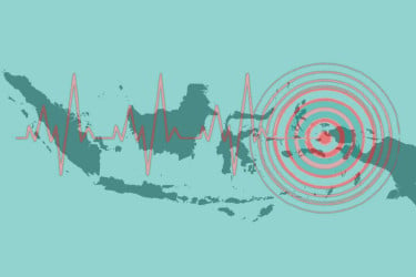
The United Nations' climate agency has warned that El Nino is set to strengthen rapidly into a strong event between July and September, increasing the risk of heatwaves, droughts, heavy rainfall and other extreme weather across the globe.
The World Meteorological Organization (WMO) said Friday that El Nino conditions have already developed in the tropical Pacific and are expected to intensify over the coming months.
El Nino is a naturally occurring climate pattern that warms sea-surface temperatures in the central and eastern equatorial Pacific Ocean, altering global wind, rainfall and pressure patterns. The phenomenon usually occurs every two to seven years and lasts for around nine to 12 months.
According to the WMO's latest Global Seasonal Climate Update, forecasts from leading climate centres point to a rapid transition into a strong El Nino during July-September. The agency classifies El Nino events into four categories—weak, moderate, strong and very strong—placing the expected event at the third-highest intensity level.
WMO climate scientist Alvaro Silva said confidence has grown significantly over the past month that strong El Nino conditions are developing in the equatorial Pacific. He added that the agency could issue further updates if forecasts indicate the event may become even stronger.
The WMO said sea-surface temperature anomalies in key monitoring regions are expected to exceed 2 degrees Celsius, with El Nino likely to continue strengthening through the Northern Hemisphere autumn.
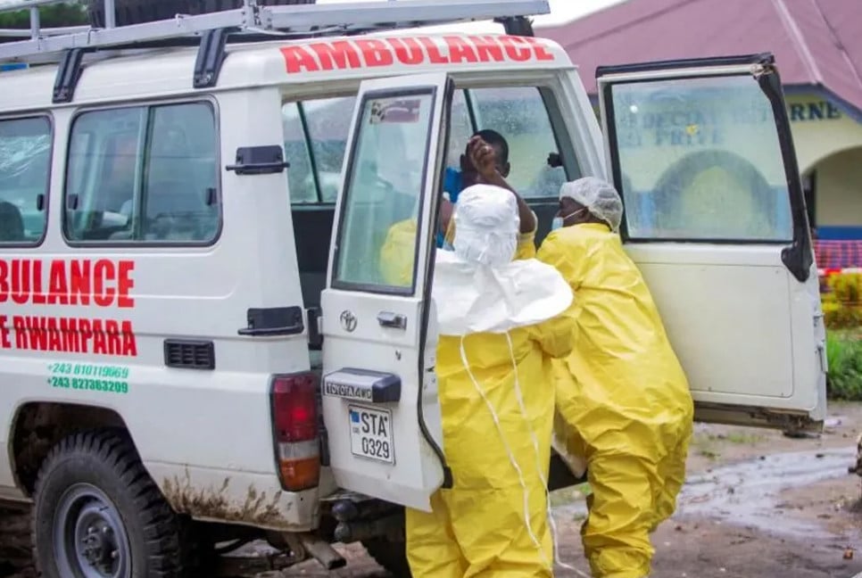
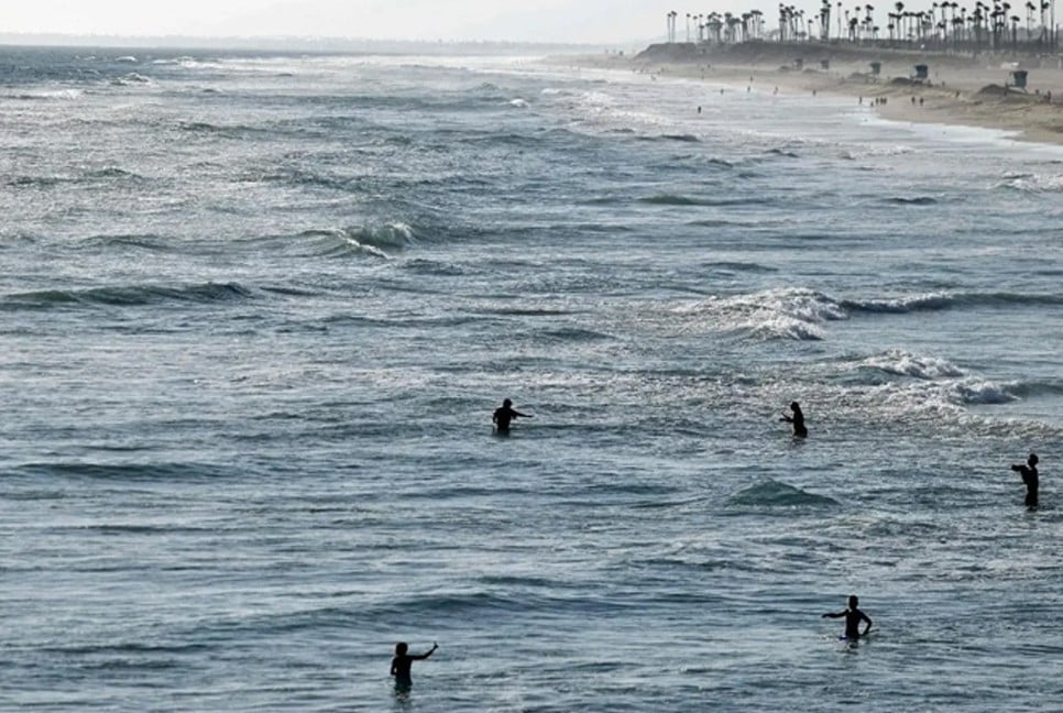
The agency warned that the climate pattern would increase the likelihood of extreme weather in many parts of the world, including more frequent heatwaves, heavy rainfall, severe droughts and marine heatwaves.
The last El Nino contributed to making 2023 the second-hottest year on record, while 2024 became the warmest year ever recorded, with global temperatures averaging about 1.55 degrees Celsius above pre-industrial levels.
Although El Nino typically peaks between November and February, its effects often continue well beyond that period. Silva said the impacts are expected to persist through the end of this year and into 2027.
WMO Secretary-General Celeste Saulo said the organisation is strengthening early warning support to help countries prepare, particularly in climate-sensitive sectors such as agriculture and health.
"El Nino conditions are already under way and are forecast to strengthen rapidly into a strong event," Saulo said. "This will intensify the chances of drought and heavy rainfall and the risk of heatwaves on land and marine heatwaves in many regions."
The seasonal outlook also points to above-average temperatures across nearly all populated land areas between 60 degrees south and 60 degrees north.
For July to September, the WMO forecasts above-normal rainfall in parts of the southwestern United States and Peru, while below-normal rainfall is expected across the Indian subcontinent and much of Australia.
The agency said there is no evidence that climate change increases the frequency or intensity of El Nino events. However, it noted that rising global temperatures can amplify their impacts by providing more heat and moisture to fuel extreme weather.
During the Northern Hemisphere summer, warmer Pacific waters linked to El Nino can also strengthen hurricanes in the central and eastern Pacific while suppressing their development over the Atlantic.
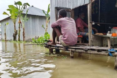
Meanwhile, Peru has declared a 60-day state of emergency in 800 municipalities over the imminent threat of El Nino-induced heavy rainfall. Authorities warned that more than 9.3 million people face a very high risk of flooding and landslides.
Bd-Pratidin English/ AM