By providing insights into soil nutrition, crop health, and environmental conditions, satellite data is becoming a vital tool for optimizing farming practices. Utilizing data collected by satellites to enhance efficiency, sustainability, and tackle global challenges like climate change and labor shortages.
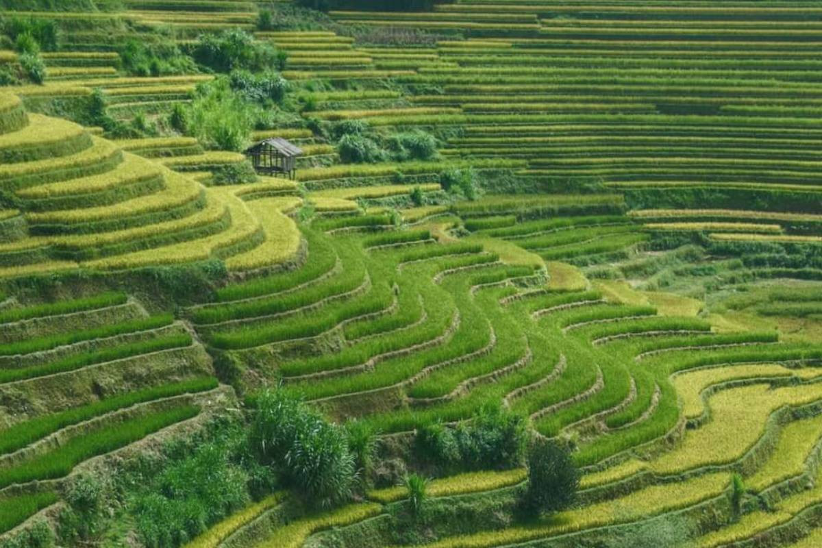
One notable example is the "Space Big Data Rice" project in Tsuruoka, Yamagata Prefecture. In this initiative, the Tokyo-based startup Tenchijin Inc., founded by former Japan Aerospace Exploration Agency (JAXA) officials, is using satellite data to pinpoint the most suitable locations for cultivating a high-yield rice variety. The satellite data analyzes critical factors such as temperature, geographical landscape, and rainfall, helping mitigate the adverse effects of rising temperatures on rice quality.
"With temperature-related damage increasingly affecting rice quality, this technology offers a way to safeguard future harvests," said a Tenchijin official. The company plans to extend this satellite-based approach to other crops in the future, setting the stage for a broader agricultural revolution.
This trend is not limited to startups. Major companies, such as Kubota Corp., are incorporating satellite data to assess crop conditions and optimize cultivation. The Japanese government has also joined the effort, planning to use satellite data for forecasting rice harvest volumes.
Additionally, satellite data is proving valuable in identifying fallow agricultural land. Hyogo-based Sagri Co. uses satellite technology to locate unused land accurately, reducing the need for time-consuming manual checks. By combining this with soil health and plant condition analysis, farmers can cut costs and reduce their dependency on fertilizers, promoting sustainability in agriculture. This technology has already been deployed in Southeast Asia and Africa.
The market for satellite-based services in agriculture is expanding rapidly. According to Yano Research Institute, Japan's satellite service market, valued at ¥16.1 billion in fiscal 2022, is projected to reach ¥34 billion by fiscal 2030. The continued growth of this market underscores the increasing reliance on satellite data for more efficient and sustainable farming practices.
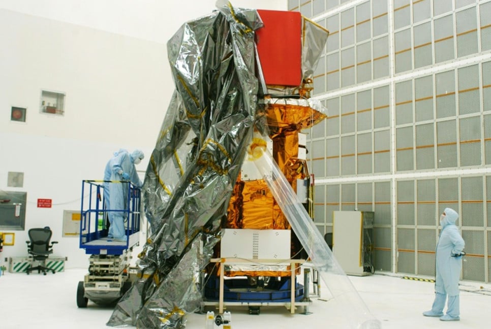
As over 15,000 satellites currently orbit the Earth, the wealth of data available is vast and diverse, ranging from soil health and crop conditions to weather patterns. While some data is freely accessible, much of it is commercially available, offering businesses specialized insights to refine agricultural practices.
Shunsuke Tsuboi, CEO of Sagri Co., emphasized the importance of “visualizing” farmland conditions using satellite data, contributing to solving issues that farmers face in the 21st century.
As the world grapples with the impacts of climate change and growing food demands, satellite data is poised to play a crucial role in the future of agriculture, offering innovative solutions for sustainable farming and food security.
Source: Japan News
Bd-pratidin English/ Jisan